£240
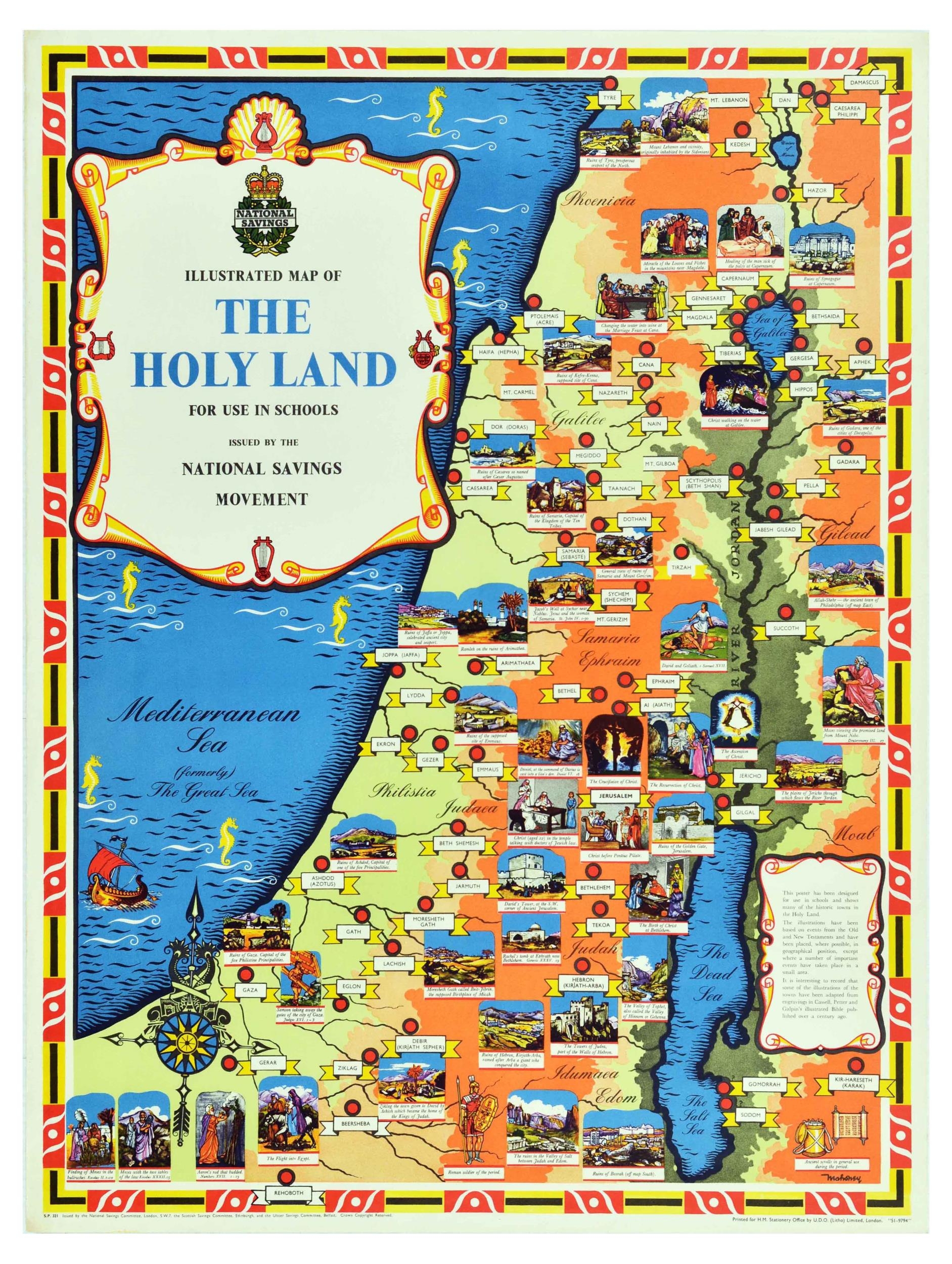
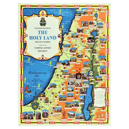
Travel Poster Holy Land Israel Palestine Illustrated Map National Savings. Original vintage poster - Illustrated Map of the Holy Land for Use in Schools Issued by the National Savings Movement, this poster has been designed for use in schools and shows many of the historic towns in the Holy Land. The illustrations have been based on events from the Old and New Testaments and have been placed, where possible, in geographical position, except where a number of important events have taken place in a small area. It is interesting to record that some of the illustrations of the towns have been adapted from engravings in Cassell, Petter and Galpin�s illustrated Bible published over a century ago. � The map features Mediterranean Sea or The Great Sea, The Dead Sea, modern Israel and Palestine territories and the Eastern Bank of the Jordan River. Issued by the National Savings Committee. Printed for H.M. Stationery Office by UDO Litho Limited, London. Good condition, creasing, tears, minor staining. Country of issue: UK, designer: Mahoney, size (cm): 101x76, year of printing: 1950s.
Fees apply to the hammer price:
Room and Absentee Bids:
20% inc VAT*
Online and Autobids:
20% inc VAT*